Introducing Waterways & Riparian Context on Plotwise

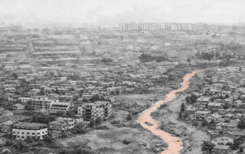
When heavy rain hits Nairobi, water finds its old paths fast. Rivers swell, drains back up, and suddenly parcels that looked fine on a sunny day tell a different story.
Recent flooding across Nairobi is a reminder of how quickly water context becomes real. Areas that looked ordinary last week are now dealing with overflowing rivers, blocked drains, and impassable roads. See recent coverage from The Star.
We’ve made that context easier to see on Plotwise.
What’s New
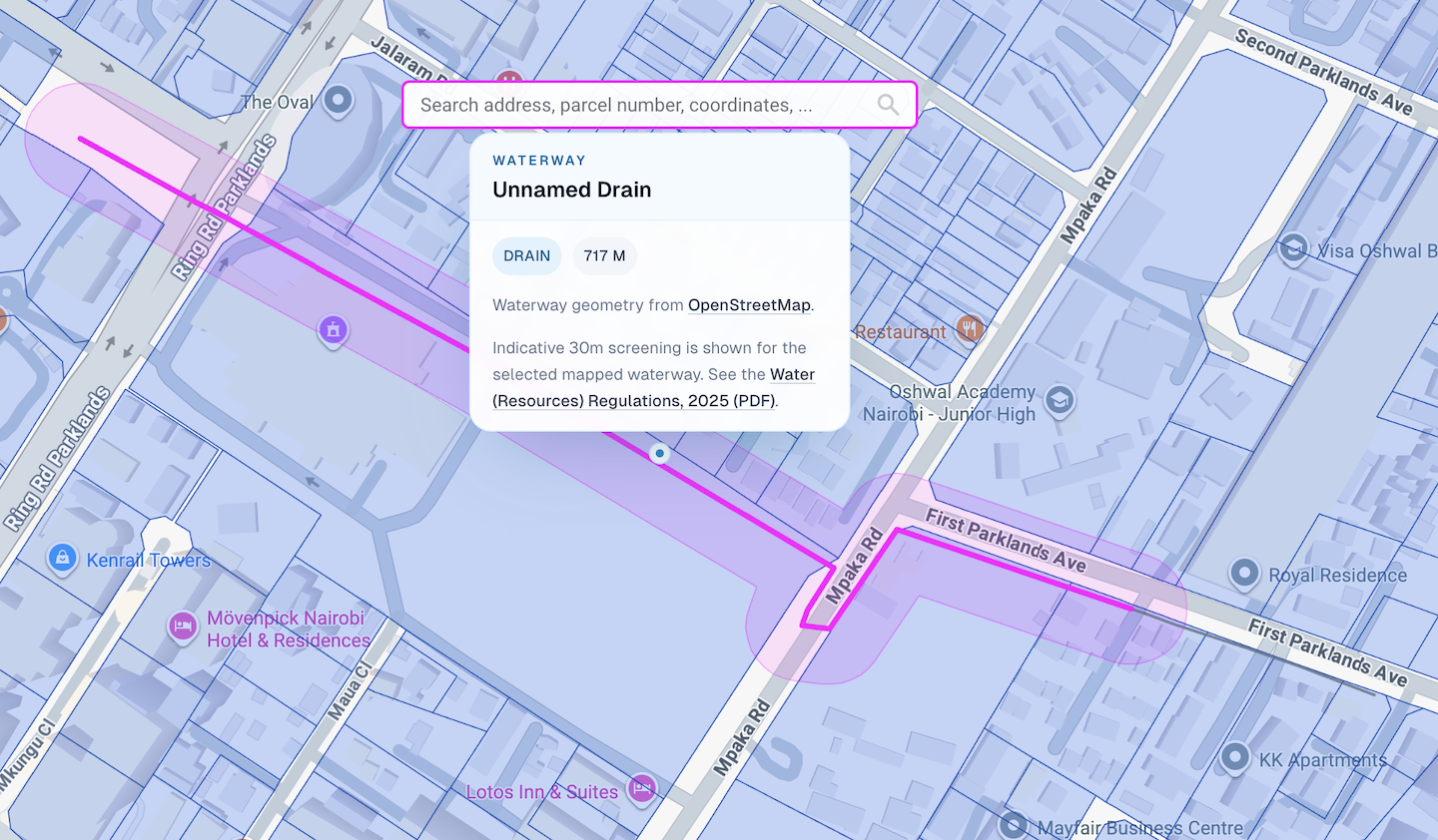
Plotwise now includes a dedicated Waterways layer on the map, plus a new Water & Riparian section inside parcel details.
You can now:
- See waterways (rivers, streams, drains, etc.) directly on the map (sourced from OpenStreetMap)
- Click a waterway to inspect it and view an approximate 30 m highlight
- Nearby waterways are now included in parcel research reports
Why This Matters
Water proximity affects more than what you see on a map. It influences risk, approvals, buildability, and how you advise clients.
Flooding rarely affects only parcels inside rivers. It often hits land near drains, seasonal streams, culverts, and low-lying corridors that aren’t obvious until water arrives. Being near a mapped river, stream, drain, ditch, or canal doesn’t automatically mean a parcel is constrained. But it does mean the water context should be visible early, not discovered late.
That’s the goal of this release: surface water risk in the same workflow where you already review parcels, zoning, and surroundings.
A Note on Accuracy
This is a fast screening tool, not a legal survey.
Results are approximate and based on mapped centerlines, not surveyed bank edges. For parcel-grade precision, you still need a licensed surveyor and official records.
Try It
Open the map, turn on the Waterways layer, and select a parcel near a mapped river, stream, or drain. If you have any feedback, email us at hello@plotwise.co.